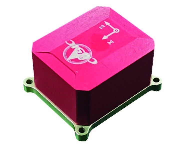
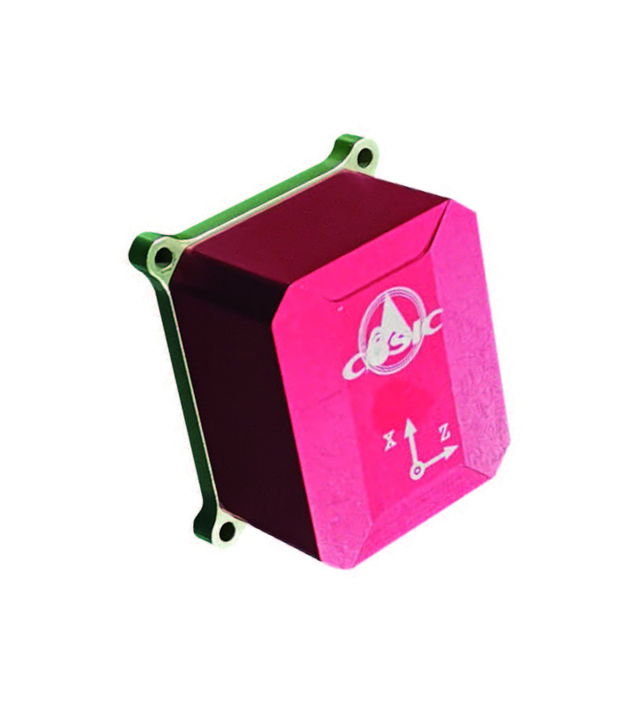
KsINS-W72 MEMS inertial/satellite integrated navigation system
product description:
KsINS-W72 is a small high-precision MEMS serialized product. It consists of 3 high-precision MEMS gyroscopes, 3 high-precision MEMS accelerometers, a microprocessor, and a satellite receiver. It is suitable for various types of integrated navigation and short-term pure navigation. Inertial navigation, guidance and control application fields.
The basic functions of the integrated navigation system are as follows:
● With self-test function, it automatically enters the working mode after the self-test is completed.
● The working mode has integrated navigation and inertial navigation capabilities, and can output position, speed, attitude, angular rate and acceleration information
Ability
● With service mode, it has functions such as uploading and downloading programs and parameters, changing configurations, and self-diagnosis.

Features:
● Small size, light weight, low power consumption, flexible application
● Serialized products, gyroscope, accelerometer, satellite receiver optional
Application fields and application modes:
Used in various types of drones, unmanned vehicles, guided munitions, surveying and mapping and other fields.
Performance indicators :
| |
High precision |
Medium precision |
| Alignment time (min) |
1min~5min |
|
Navigation
(1σ)
|
Position accuracy (m) |
Horizontal 10; Vertical 15 |
| Speed accuracy (m/s) |
Horizontal 0.1; vertical 0.2 |
| Attitude accuracy (°) |
Level<0.3; heading binding + maneuver<0.4 |
|
Satellite outage for 1 minute
(1σ)
|
Position accuracy (m) |
45 |
60 |
| Speed accuracy (m/s) |
1.5 |
2.5 |
| Heading accuracy (°) |
0.5 |
0.6 |
| Horizontal attitude accuracy (°) |
0.4 |
0.5 |
Application environment :
| Working/storage temperature(℃) |
-40~+60 |
| MTBF(h) |
2000 |
| Dynamic Range |
|
| Mechanical properties |
Vibration 6.06g, shock 80g/1ms |
Physical properties:
| Dimensions |
60.6mm×51.6mm×33m (including installation) |
| Installation dimensions |
53.6mm×44.6mm |
| weight |
≤ 130g (excluding antenna ) |
External Interface:
| powered by |
+4.5V~+36V |
| Power consumption |
≤ 4.5W
(Antenna not included, antenna power consumption
Not more than 0.5W)
|
|
Input/output interface
|
RS422A |
| Data output frequency |
200Hz |
Company Information

Xi'an Kacise is certified by ISO 9001-2008, GJB 9001B-2009, CE, intrinsic safety explosion-proof and isolated safety explosion-proof, etc. which assure our products are conform to the international standards.
We have been specializing in manufacturing pressure, level and flow measuring instruments and related products for 10 years. We have experienced technical and management personnel, through the efforts of our entire staff, we have become a professional measuring instrument manufacturer and solution provider.
Currently, Kacise sensor is already exported to America, Spain, Australia, Chile and 20 other countries and regions, and received many favorable feedbacks. Our overseas distributers are also increasing.
We supply high quality Turbine Gas Flow Meter, hope we can coopperate in near future by providing you suitable products, good services and reasonable prices.

 ข้อความของคุณจะต้องอยู่ระหว่าง 20-3,000 ตัวอักษร!
 กรุณาตรวจสอบอีเมลของคุณ!
  ข้อความของคุณจะต้องอยู่ระหว่าง 20-3,000 ตัวอักษร!
 กรุณาตรวจสอบอีเมลของคุณ!


